A 4-mile, circular, walk starting from Upper Minety: quiet country lanes. Gentle slopes. Click here for an aerial view. Click here for a downloadable PDF guide of this page. (There is a GPX route option here for phone/tablet download. But only follow this link after watching this GPX help video). Friendly warning: all files relating to walks are published here on good faith but on the understanding that users must be responsible for their own safety and wellbeing.
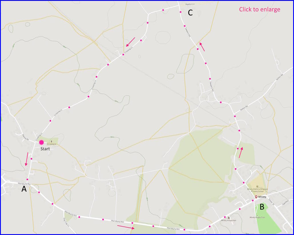
(Routes from map points + metres to next point)
Start: Walk from church to junction of Hornbury Road 150m
A: Walk to junction at point B 1.9Km
B: Walk to left turn at point C 1.8Km
C: Walk back to start at church 1.8Km
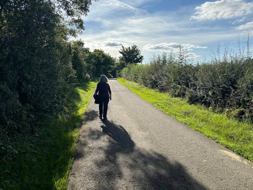
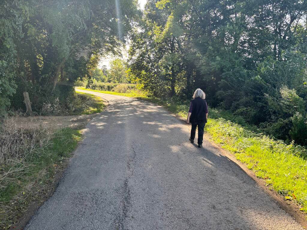
The pictures below are in the order things were seen on this walk. Clicking on any one will enlarge it (and the slideshow)
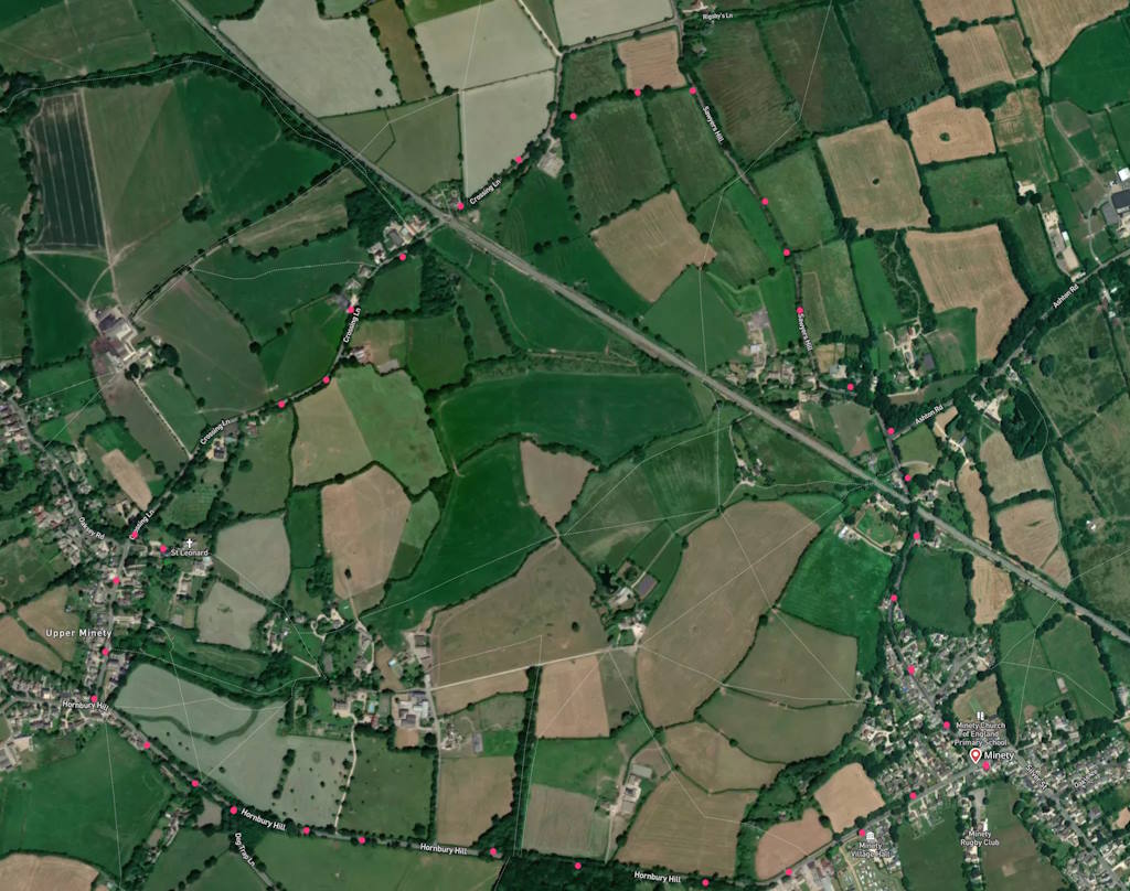

The walk
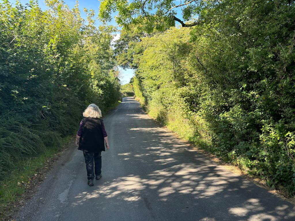
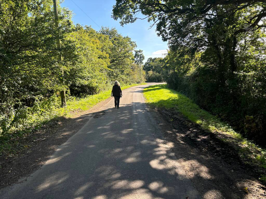
The walk starts at Upper Minety (‘Sideways Minety’ really, as its to the east of Minety proper). It follows lanes in a rectangular shape. There is a little bit of traffic on the first part of the walk – so take care. The other roads are very quiet and have generous verges most of the way. The last section of the walk is the most attractive. Much farmland on either side of you. But not very many interesting buildings. The land is fairly flat and drains into the Thames. As it happens most of the Minety area is in Gloucestershire. It is just Upper Minety that justifies this walk being a “Wiltshirewalk”
The Minetys
Upper Minety is the original settlement but Minety popped up with the railway that ran diagonally to the east (you cross it on the walk). There was a demolished Victorian Minety and Ashton Keynes station in the village. It served the former Cheltenham and Great Western Union Railway line from Gloucester to Swindon. This ‘Lower Minety’ flourished because of the station – milk loading facilities drew from the many farms in the area. Also, it caused the school to migrate there from Upper Minety.
In the Upper Minety there has been found evidence of Iron Age and Anglo-Saxon settlement. But Roman also. In fact, there may have been Roman tile-making in this area because the local Oxford Clay is very suitable for firing. The great Wiltshire historian John Aubrey described the fullers earth here “as black as black marbled polish”. In the Middle Ages Minety was a well-known centre of pottery production known as ‘Minety ware’.
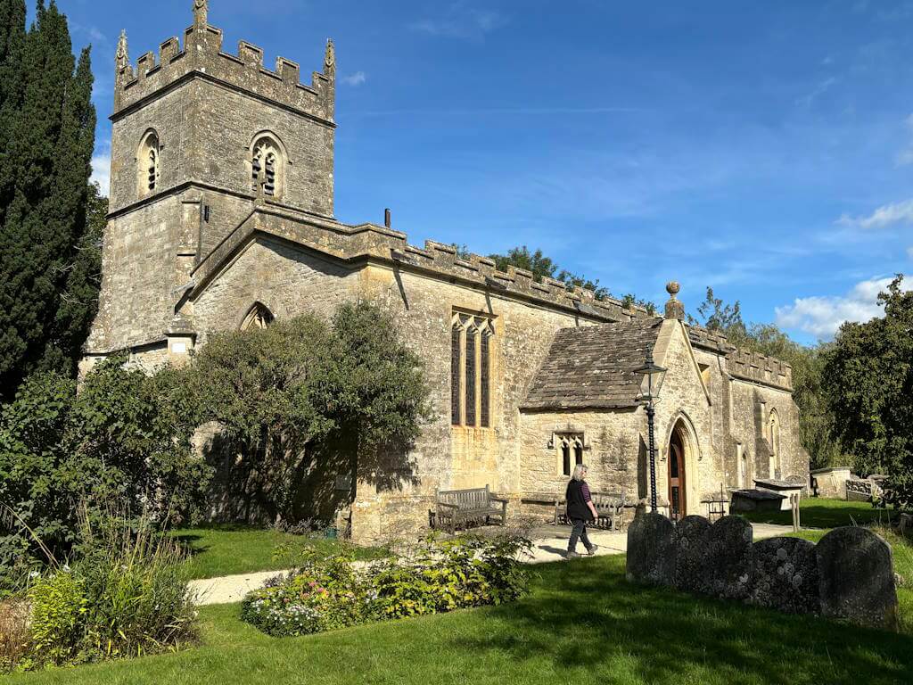
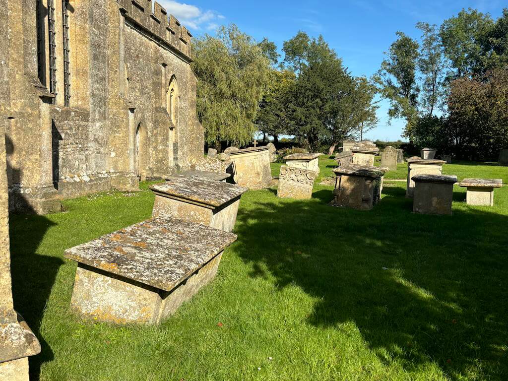
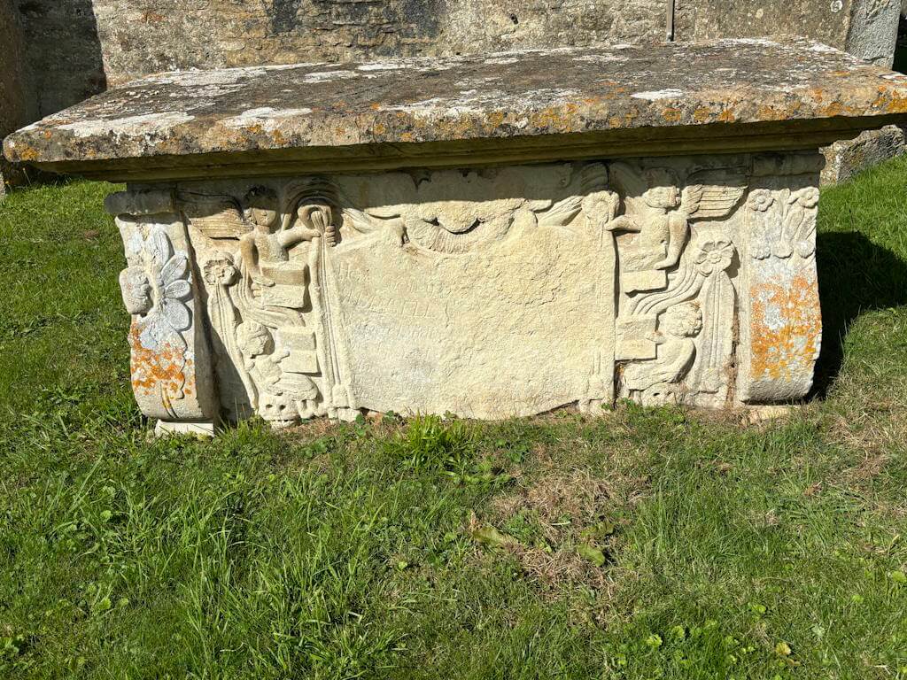
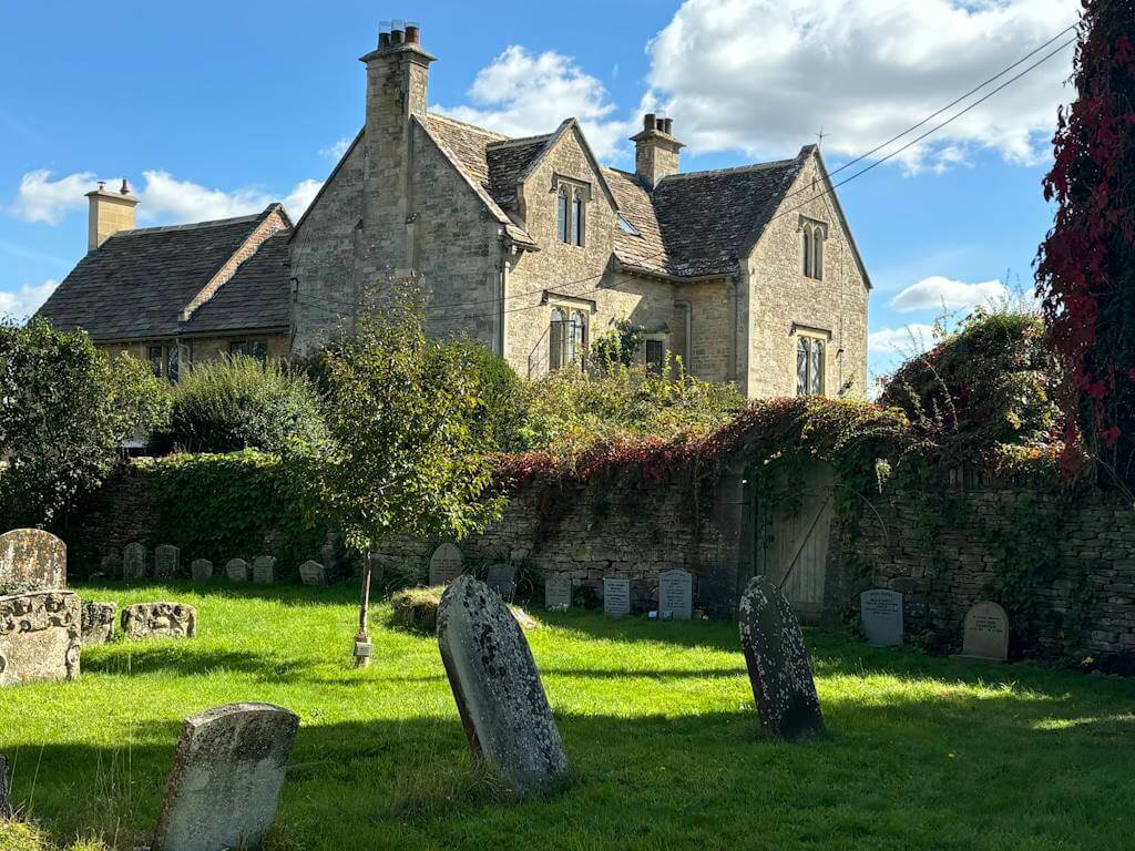
There is not a lot to see in terms of architecture. St Leonard’s is a Perpendicular church which has a some interesting features inside (but was locked for us). And the graveyard is worth a wander through, as there are some classic Victorian tombs. Then there is Havington House to the south of the church: formerly the mediaeval rectory but now an 1860s private house. The Old Inn you pass at the end of walk. It was the Carpenters Arms in 1789. In the 19th century, landowners met there to discuss tithes and conduct auctions. The present building has 17th century origins but is no longer a pub. In fact there is no pub nearby and only one village shop.
By contrast, in 1939 there were two garages, a wheelwright, two shops, a butcher, baker, carpenter, builder, blacksmith, cobbler, printer, timber merchant and haulier. The Wiltshire Gazette had an office at Minety, a physician and surgeon visited the village on Wednesdays and Saturdays and a coal merchant was located at the railway station. All thanks to the railways. And all lost because of them.
There is an active and successful rugby club. And an annual music festival just south of the village. For a sense of the occasion, have a look at a review here) And highlights are in the video here.
However, nationally, what Minety is currently famous for is the largest battery storage facility in Europe. Just south of Upper Minety. The Minety battery storage project is part of an effort to protect supply from times when the sun hasn’t shined much and the wind isn’t blowing (all assuming a zero carbon world). It is the Next Thing in energy management. See it here. There are plans to build a further storage facility near Dog Trap Lane. Not all residents are keen – Ian Anderson (he of Jethro Tull) lives nearby and doesn’t seem to want it in his backyard.