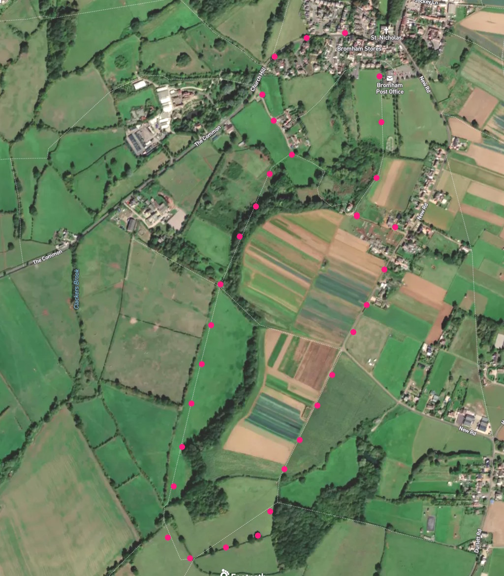
A 3.5-mile easy walk: Field paths (2 stiles). It starts near at the parish church. Click map below to enlarge. Click here for an aerial view. Click here for a downloadable PDF guide of this page. (There is a GPX route option here for phone/tablet download- some browsers need “save as”. But only follow this link after watching this GPX help video). Friendly warning: all files relating to walks are published here in good faith but on the understanding that users must be responsible for their own safety and wellbeing..

Start: Exit church yard by gate opposite porch. Take “footpath to social centre”. Field walk until tacking right at bench facing you (end of skateboard area), then left through hedge to continue straight 525m
1: Take a left turn onto farm track that joins New Road. Tack right at bench (end of skateboard area), then left to continue straight 510m
2: Continue straight from road onto farm track 470m
3: Path gate on left (but walk on past it) 320m
4: Walk around gated hedge gap and walk forward parallel to previous path keeping trees to your right 1.12Km
5: Walk directly across small field with sheep to gate at roadway opposite 330m
6: Join road and use verges to return not start 430
The pictures below are in the order things were seen on this walk. Clicking on any one will enlarge it (and the slideshow)
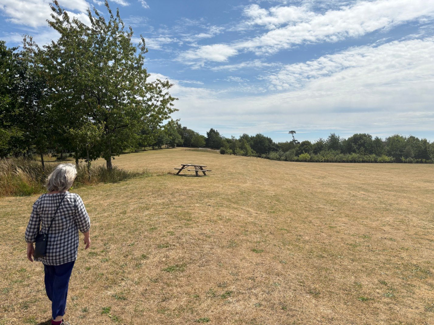
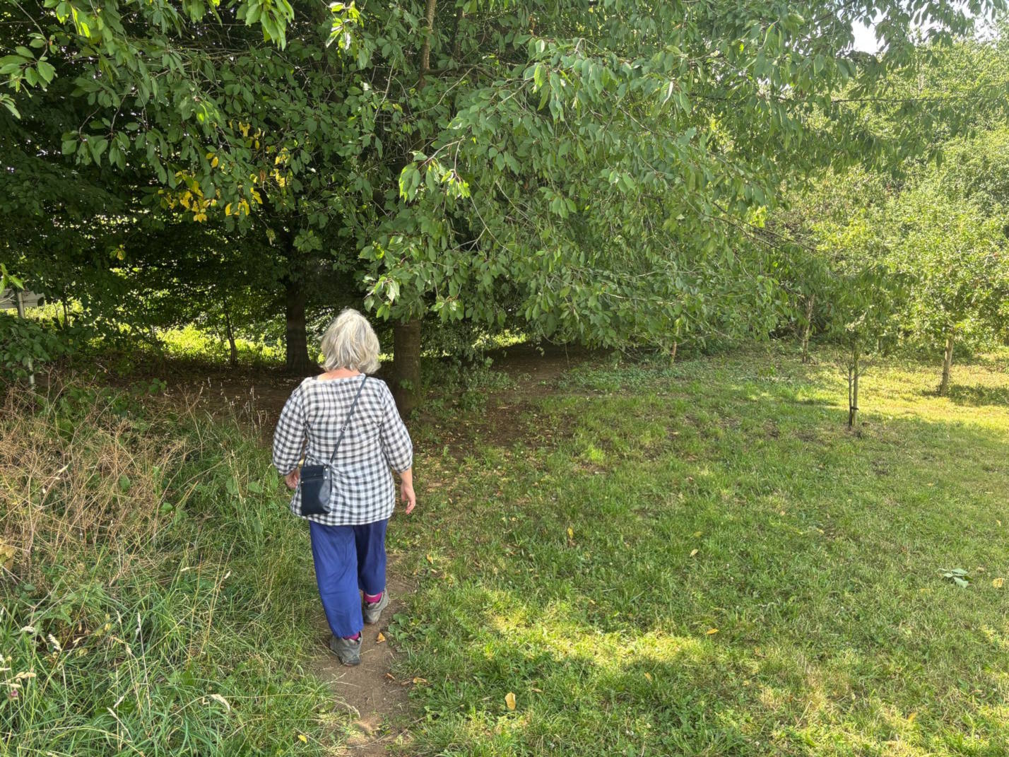
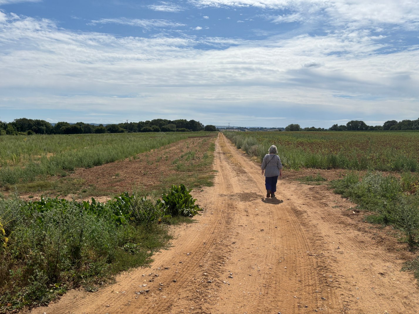
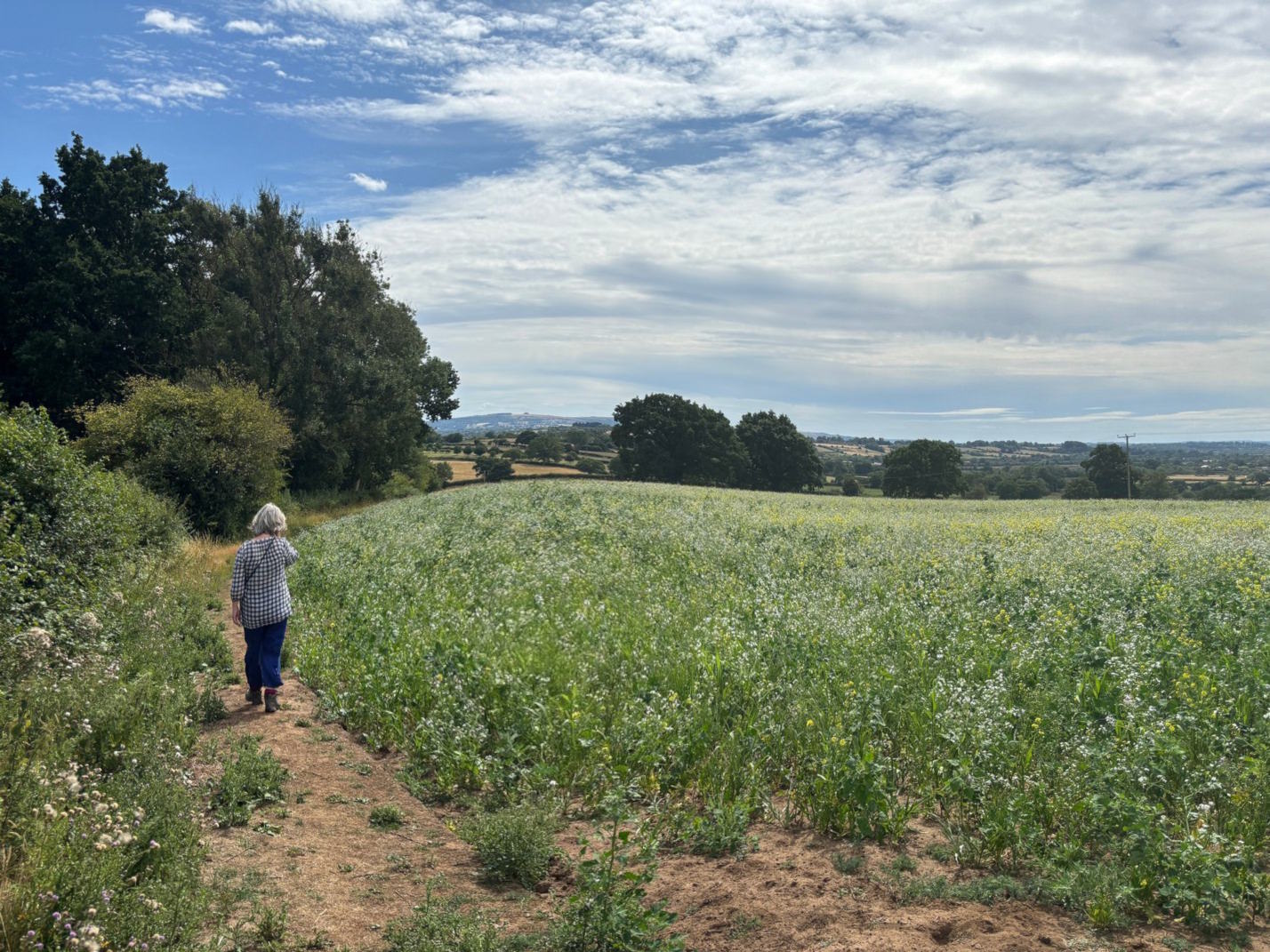
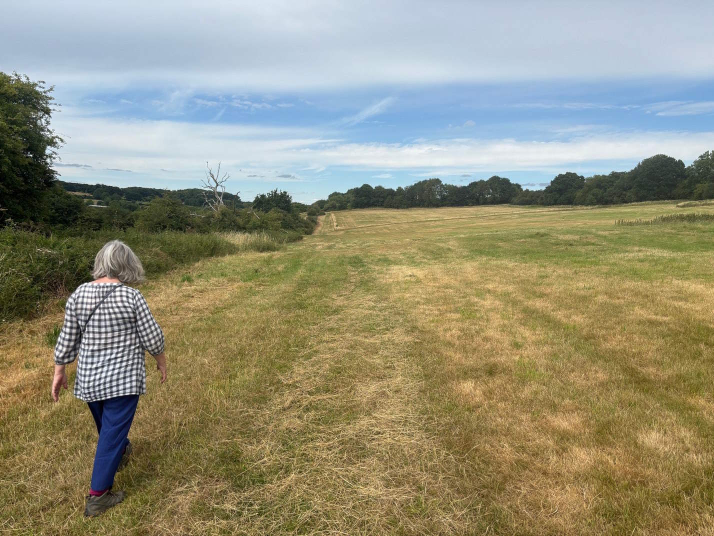
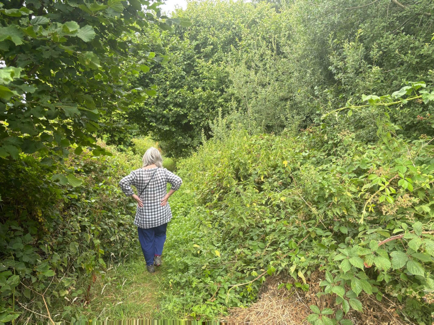
The walk
The walk is quiet and largely flat (some incline on road taken at end). Partly through pasture farming but mostly through open fields (plenty of blackberries if you chose your timing). At point 3 don’t be tempted by the gate to right. Walk on to facing hedge – not quite the diagonal implied by the map as the field is cultivated but turn right at field end and follow hedge to pick up continuing straight path after passing through hedge (there are walkers arrows if you look for them – for reassurance). Keep the line of trees to your right as you walk the long stretch to point 5. It is not a marked path but follow a straight line route (at one point on this long stretch there is a stile/gap in the hedge facing you but slightly to your left. It is all easier than that might sound, The road at the end is not busy but needs the usual care (although most of the way has grass verges).
The place
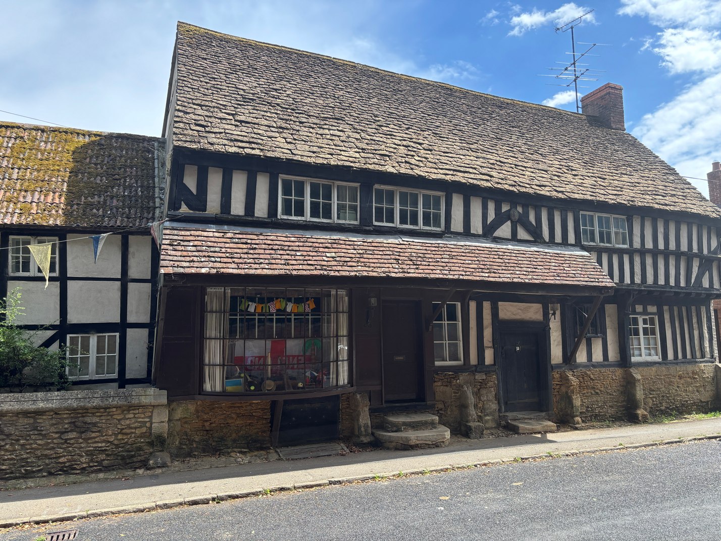
The town is difficult to walk about, as the dwellings seem to be scattered laterally off a central spine (Church Hill leading into High Street. It was a prosperous settlement up until the 17th century when the handloom weaving industry went into decline. As the land around it was fertile, it developed instead work in market gardening and farming – which remains a significant business in the present town.
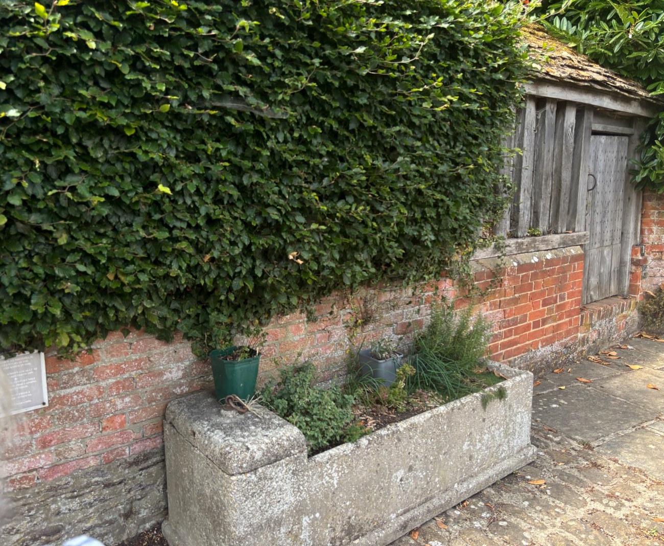
Notice the timber lockup in the High Street wall of the church. Unusual, because elsewhere these little prisons were made of stone.
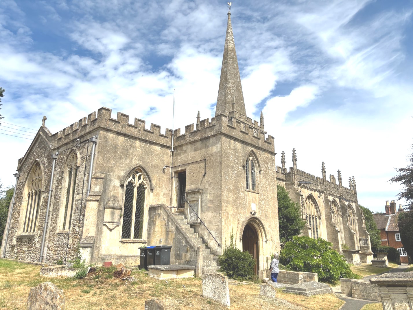
St Nicholas Church is the main building likely to be of most interest on this walk. 12th century (fragments only) extended in the 14th and 15th. Striking on the exterior is its spire. This comes with a story. In 1735 a Thomas Kindman travelled to the town as a sort of performance abseiler. A large crowd turned up to observe him attach a rope to a board, attach himself to the board and attach this to the top of the church steeple. This “steeple flyer” hand calculated everything to be safe – except the resilience of the spire. It could not take the stress, it collapsed (to be later pulled down and replaced). Fortunately Kindman landed in a tree and was not seriously injured.
The inside of the church is dramatic in a different way. Be sure to visit the south chapel, which was added by Sir Roger Tocotes at the end of the 15th century. Tocotes had been accused of poisoning the Duchess of Clarence. His co-accused was hung but he evaded capture until his accuser was himself arrested for another crime. Sir Roger went on to prosper, finally asking to be buried “in the middle aisle of our Lady’s Chapel” at Bromham. Where you can see his memorial now. It has been strikingly decorated with graffiti. During the Civil War the chapel functioned as a stable for soldier’s horses during the leadup to the Battle of Roundway Down at Devizes (1643). Some of those soldiers set to work with their blades (it appears that others have added more later).
The chapel is noted for its 15th century glass – well preserved in the east window of the chapel. But also be careful to look up for the 15th century oak ceiling. It is said to be the largest area of original and un-restored medieval timberwork and paintwork in the country. It is very unusual that 15th century paint should survive without being varnished or replaced.
The chapel is otherwise known as the Bayntun chapel because several of that Wiltshire family are buried there or in the crypt beneath or otherwise memorialised on the walls. Baynton was a 17th century parliamentarian whose family benefitted from the dissolution of the monasteries. In fact stones from the former, nearby Stanley Abbey were raided in order to build the vast Bromham House – sadly vandalised and destroyed in 1645 by Royalist troops (the Bayntons were parliamentarians). They built another house at Spye Park, 2 miles north but that burned down. All that remains is Spye Arch – the gateway to the former large estate. Learn more about the Baynton family here.
Don’t miss the William Morris stained glass east window (figures drawn by Burne-Jones)