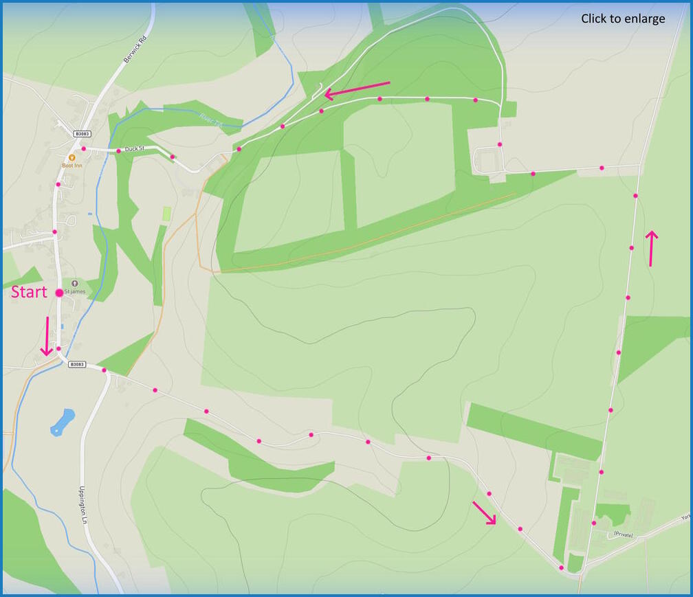
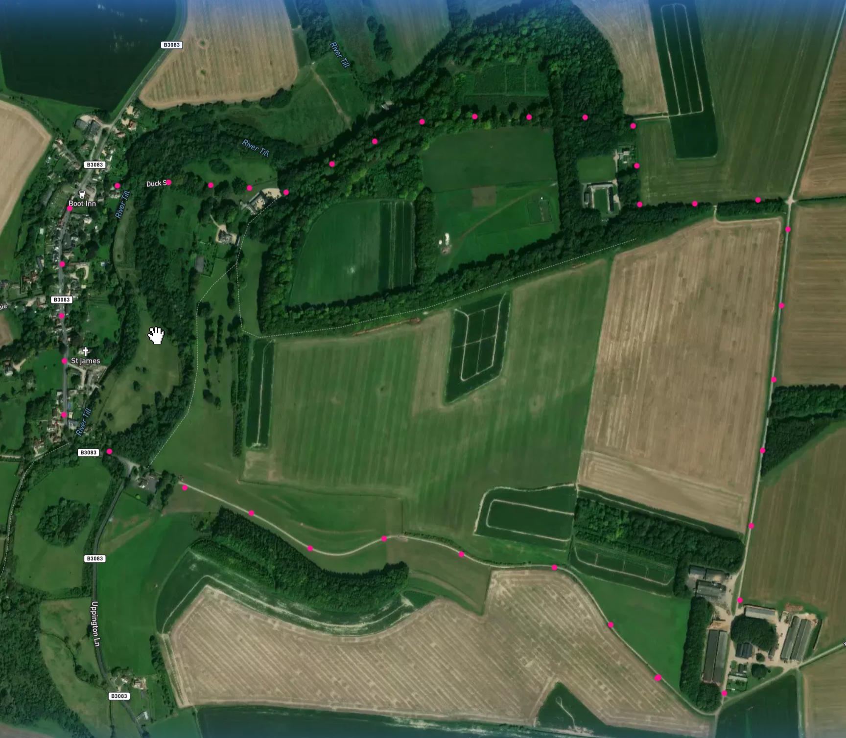
A 3.5-mile easy circular walk starting at Berwick Saint James. Click map below to enlarge. Click here for an aerial view. Click here for a downloadable PDF guide of this page. (There is a GPX route option here for phone/tablet download – some browsers need “save as”. But only follow this link after watching this GPX help video). Friendly warning: all files relating to walks are published here in good faith but on the understanding that users must be responsible for their own safety and wellbeing..
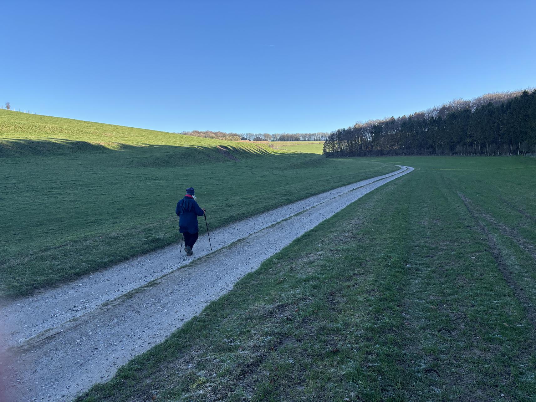
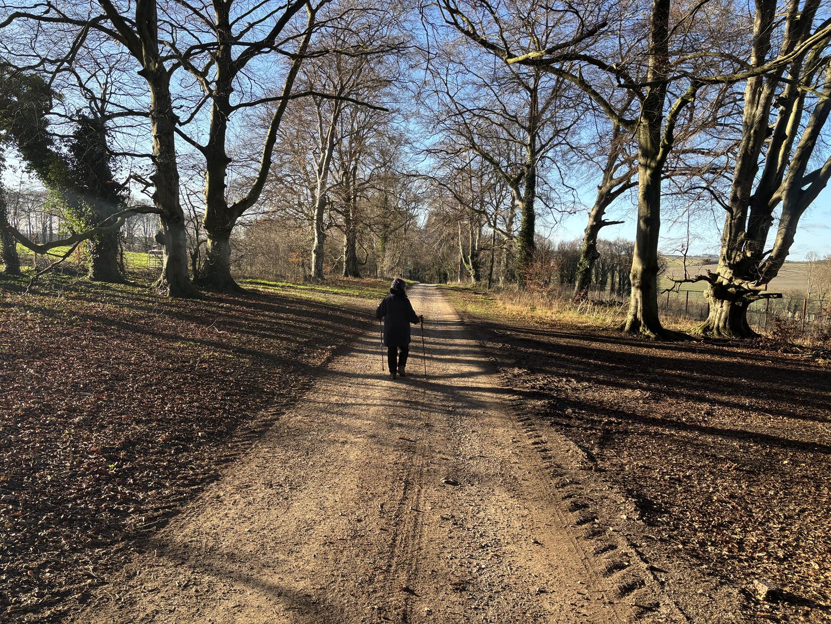
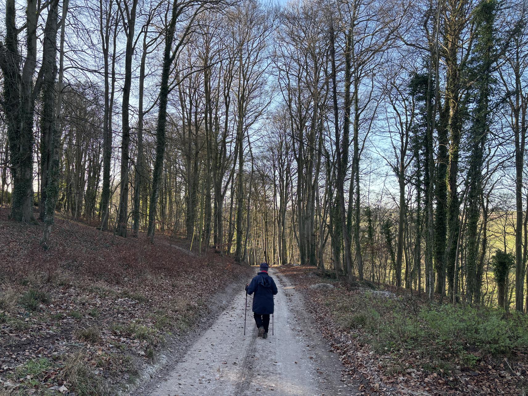
The pictures below are in the order things were seen on this walk. Clicking on any one will enlarge it (and the slideshow)
The Walk
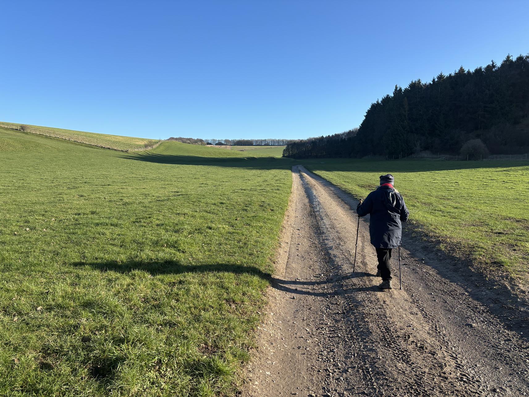
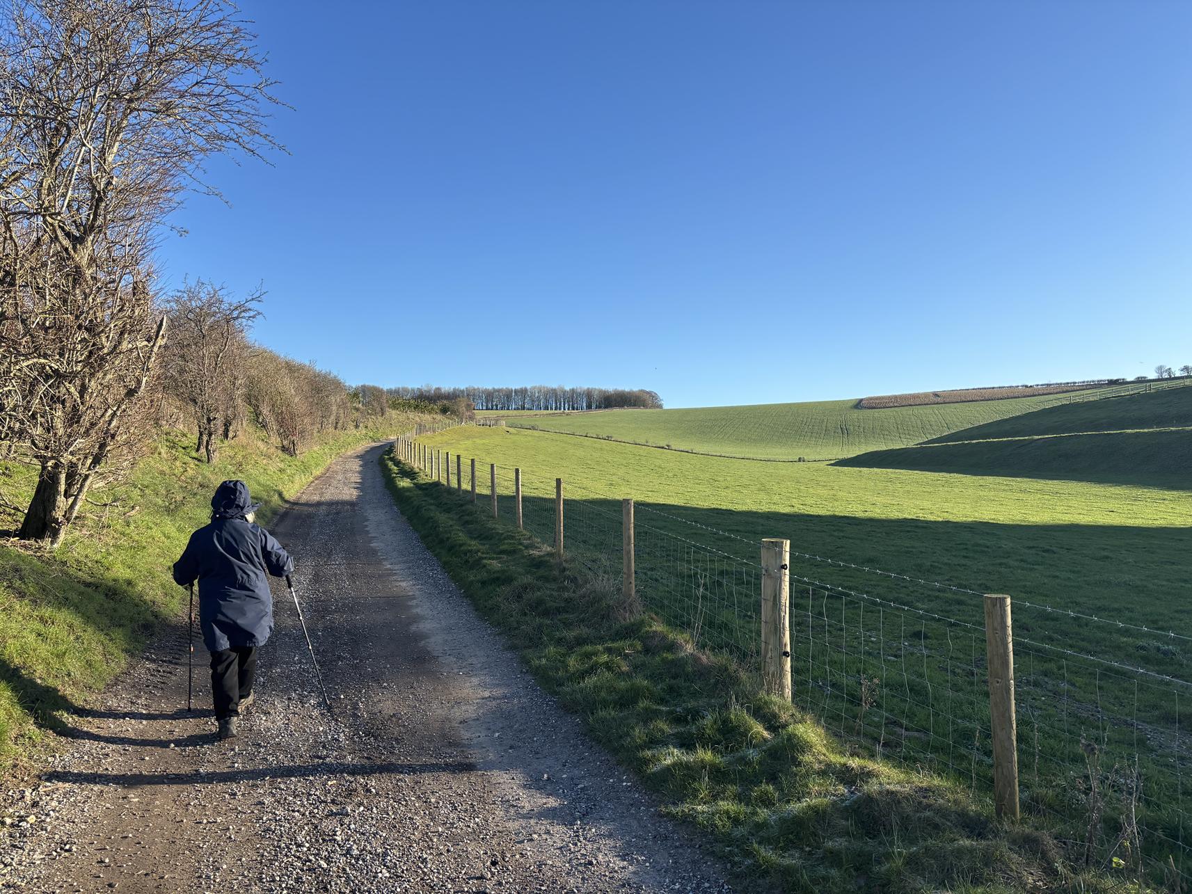
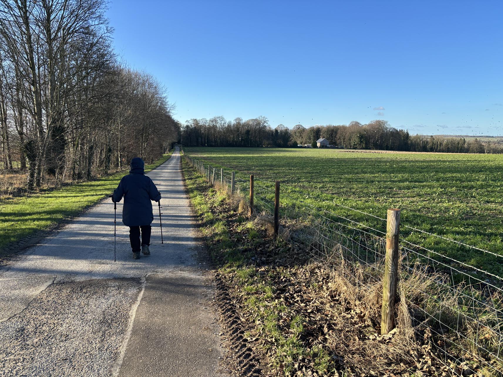
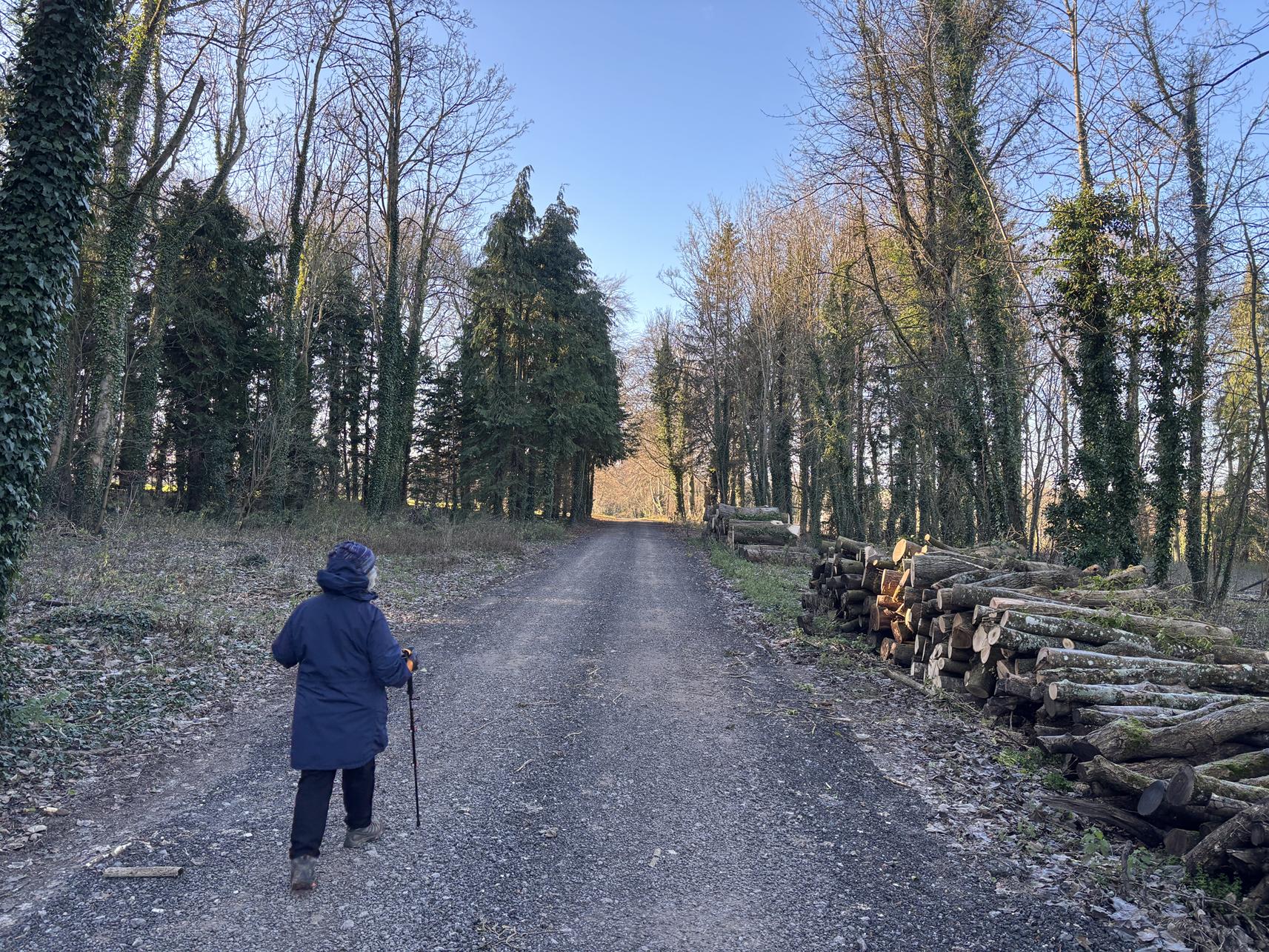
This is a very easy walk – it is entirely on gravelled farm track. The map speaks for itself : a rough rectangle starting at the village church and passing through typical farmland on the edge of Salisbury plain.
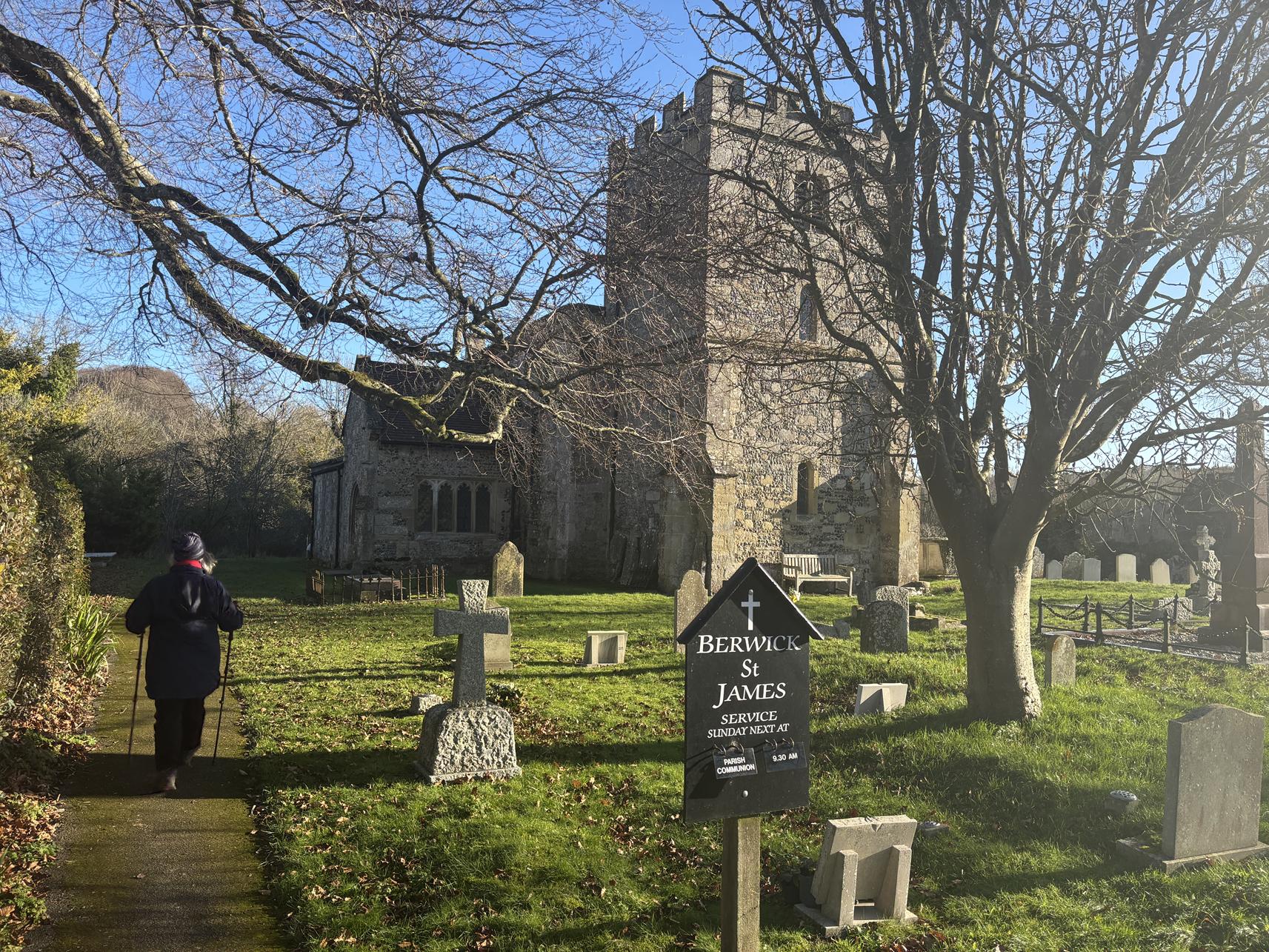
The village
Berwick is on the River Till (on its way to the Wylye) – you walk alongside it for the later part of this route. It is a few miles to the west of Stonehenge and not far from the Dorset border. It is a charming enough village, with a few notable buildings near to the church but not a lot of history to tell. The church has Norman origins (mainly the north doorway) and – if you can get in – some 13th century chancel windows. But what you see now is largely Victorian reconstruction.
The Old Forge Farm Shop might be a place to get refreshment. Although the Boot Inn is an agreeable pub – open fire, a menu and pleasant bar.
There is a little more information on what appears to be a well-used local website.