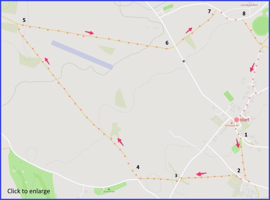
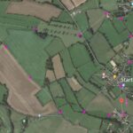
Head for BA15 2SE. (village hall car park is near the church – formerly a school.) A 4-mile easy walk around South Wraxall. Click map to enlarge. Wooded area green, contour lines show slopes. Arial view here. Click map to enlarge. Click here to download/print PDF. (There is a GPX route option here for phone/tablet download. But only follow this link after watching this GPX help video). Friendly warning: all files relating to walks are published here on good faith but on the understanding that users must be responsible for their own safety and wellbeing.
(Routes from map points + metres to next point)
0: Walk left from car park. 50m
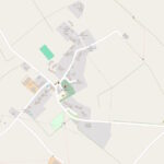
1: Footpath starts on right, opposite ‘churchfields’ road. Walk to junction with lane [closeup map here]. 250m
2: Footpath sign on right takes you parallel with lane. Shortly, it veers left across field. Follow this path to another lane. 370m
3: Left and shortly right to re-join footpath and walk further 300m
4: Path joins lane but immediately re-join path to right at 90 degree angle and cross several fields. 1.1km
5 Take a 45 degree turn Follow wooded edge of large field (picture 8) to road. 900m
6: Cross to find path over field opposite (pic 9). Through a small dense copse (50m), then a fieldpath to road [closeup map here]. 200m
7: Follow lane to right. 150m
8: Pick up marked footpath on right and follow back into village. 500m
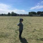
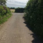
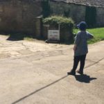
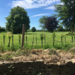
The pictures below are in the order things were seen on this walk. Clicking on any one will enlarge it (and the slideshow)
There are two ‘Wraxalls’. This walk starts in the “Upper” one (although heads towards the “Lower”). There is another settlement (that includes the local Manor) slightly above the Upper (also where the walk ends). Taken together all this comprises “South Wraxall” – to distinguish it from a “North Wraxall” which is further up the county. Clear? (Not so fast: there are three other Wraxalls in the west country.)
Village
Most of the village buildings are seventeenth or eighteenth century. A conservation area – with just a scattering of recent housing. There are no shops here (although some businesses – ‘creatives’ etc.) but there is an excellent 17th century pub (The Longs Arms) renowned for its Michelin Guide food and its peaceful garden (contact “Team LA” for reservations).
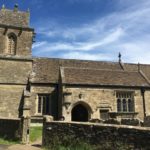
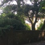
Otherwise, for visitor browsing, it’s the undulating countryside that rewards. Although there is the parish church to admire. some might find St James slightly odd looking, with a rather quirky saddleback structure plonked on the large stair turret and a steeply pitched roof over the nave [picture 1], The church is 15th century, although most of it (but not the tower) was rebuilt in 18th. A set of six bells (unheard for 130 years) is currently being renewed through local fundraising. Although the village is modest in scale and quiet in tone, it does have a thriving community – as apparent in their website.
The Longs of Wiltshire
Much around this whole area reflects the historical influence of the Long family. Robert Long being a key figure. He was a 15th century lawyer and MP whose family absorbed much of the land flowing from the dissolution of monasteries nearby. This culminated in possession of the Grade 1 listed South Wraxall Manor built by the Lucases, another clothier family. The Long Chapel on the side of the church, with its own roof, contains memorials to the ubiquitous Longs. The family are still part of the British aristocracy – Richard Gerard Long, 4th Viscount Long, was a Tory politician and peer until 1997 – succeeded now by 5th Viscount James Richard.
Descendant Cheryl Nicol has written the story of the Long family in a book boldly titled ‘Inheriting the Earth‘. Meticulously researched and illustrated, but its 400 pages are not for the faint hearted. Every crevice of the Long’s family tree is forensically examined across 500 years of history. Sadly, there is less attention to the cultural or political frame that might help make some sense of the genealogical detail. Another history exists in Pamala Slocombe’s book “Whaddon and the Longs” Although this is only about the Whaddon branch. This brick of a book is impressive but manages to be even longer than Nicols. In terms of sources for local historians, it seems the Long family were generous with the records they kept.
The Manor
This drone video gives a good sense of the Manor’s scale (best with music muted perhaps). At one point the drone crashes while navigating a medieval archway. Probably a jape sponsored by the owners – who are visible together at the controls at one point. However, the footage does confirm the building’s iconic Manorial status.
As an example of its kind, it possibly exceeds its great neighbours – nearby Westwood and Great Chalfield manors. The full story of the house was recounted by the excitable Dan Cruickshank in successive episodes of a BBC series (one, then two, and three and four). Although perhaps that is more than you need to know. Or put it aside for a dark evening and a bottle of Port. It is claimed that tobacco was first smoked in this Manor by Walter Raleigh. But this is not the only house for which this claim has been made (and, besides, the Spanish brought tobacco to England before Raleigh). The current owner lives in Los Angeles for most of the year – after all he was the former bass player with Duran Duran. So it goes…
The walk is straightforward – a charming mix of lanes and field paths.

