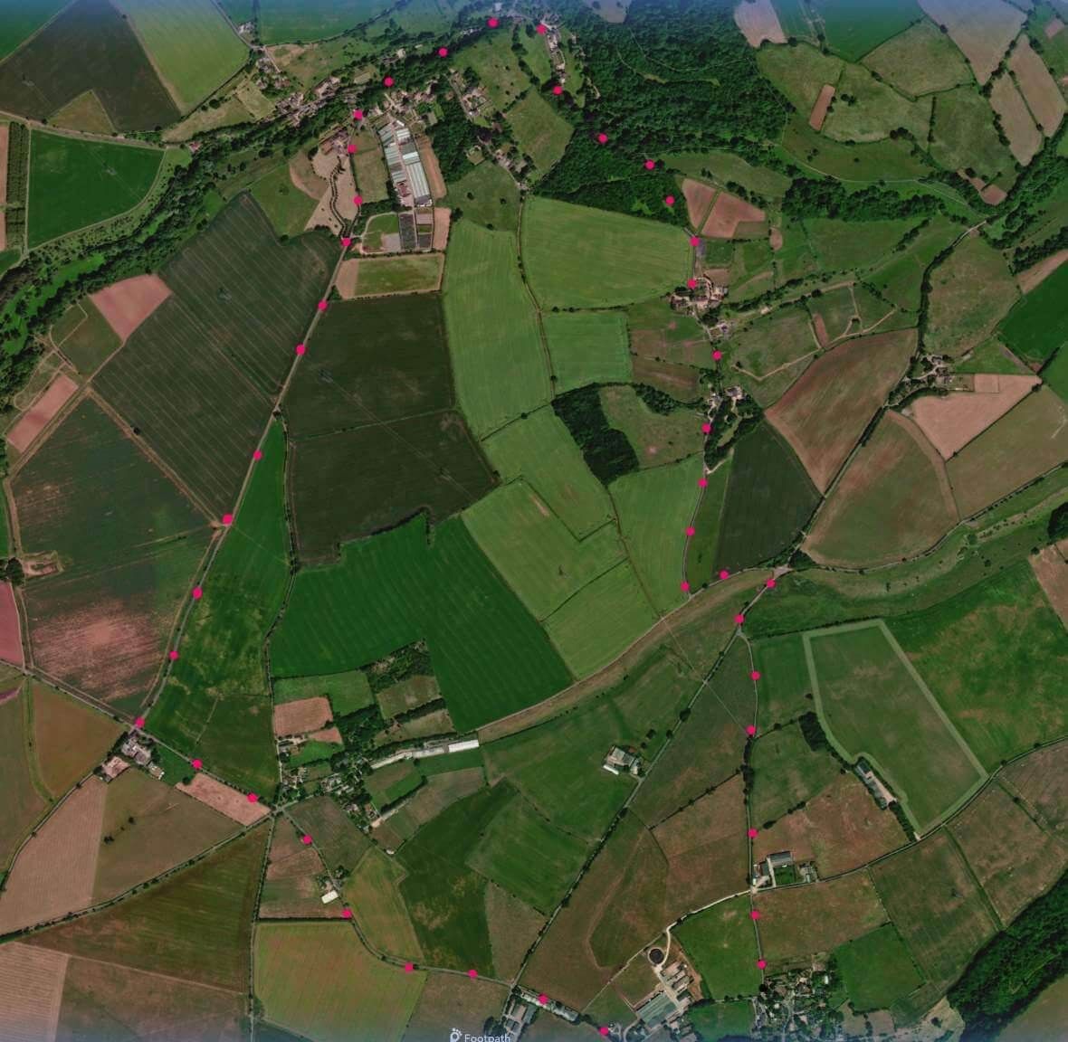
SN14 7PY A 4.5 mile walk around North Wraxall on quiet lanes through farmed country and charming village. Click map to enlarge. Click here for an aerial view. Click here to download/print PDF. (There is a GPX route option here for phone/tablet download. But only follow this link after watching this GPX help video). Friendly warning: all files relating to walks are published here in good faith but on the understanding that users must be responsible for their own safety and wellbeing.There is a walk outline on YouTube
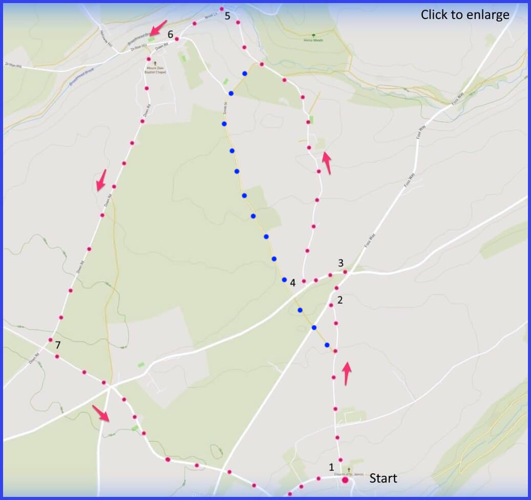
(Routes from map points + metres to next point)
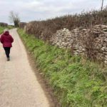
1. Exit the larger of the church double gates. Right onto the main road that passes the church and is marked to Nettleton etc. Continue forward [B]. (After 600m There is an option on the map to take the field path marked with blue dots). 900m
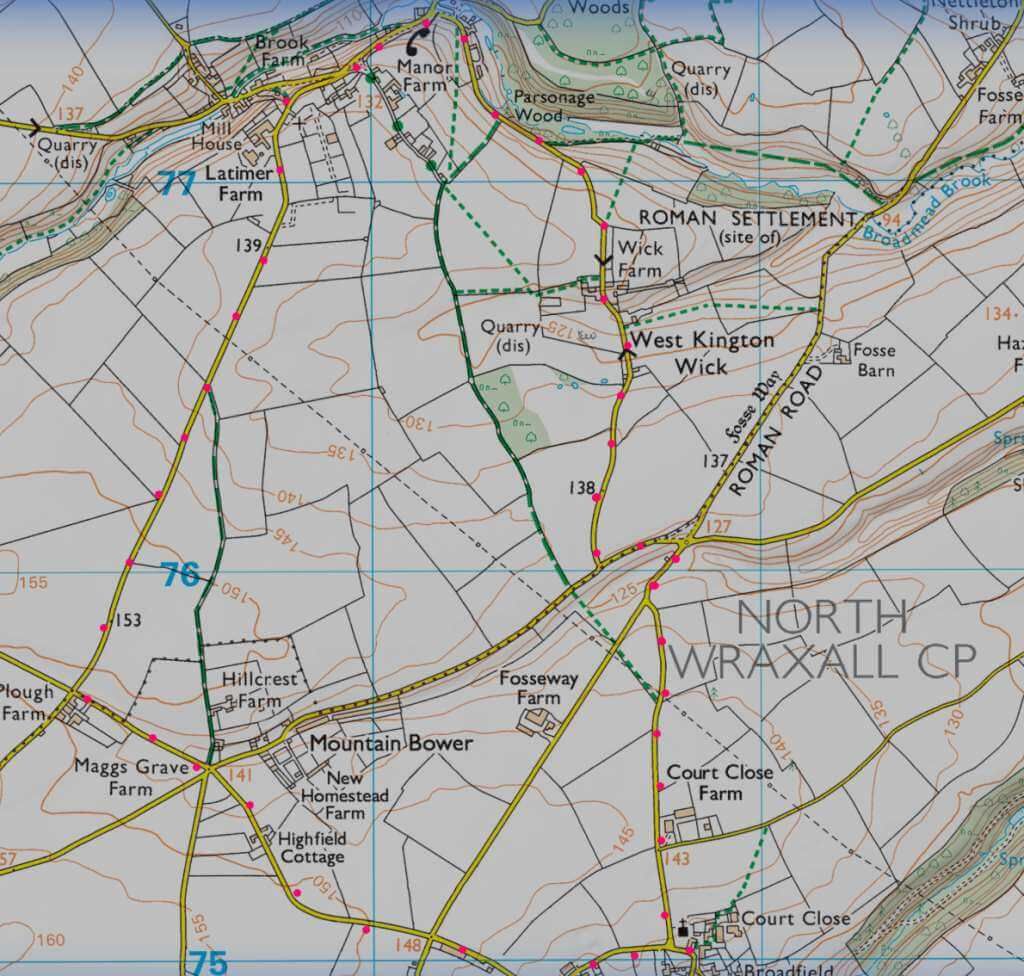
2. Turn right and briefly walk down the Fosse Way until a left turn junction road sign (blue dots again offer an alternative field route). 200m
3. Turn left into this road and walk until junction on right signed ‘West Kington’ 225m
4 Turn right and walk down into West Kington [D] (via West Kington Wick). But if you are weary of narrow lane walking there is a field-based alternative marked with blue dots. 1.6km
5. Follow the road left (signed Marshfield) away from the brook bridge until 4-way intersection – follow Marshfield sign. 260m
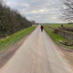
6. Stay on the upper of the two roads. Look out for chapel on left [F]. The road is long and straight [H]. 1.7km
7. Turn right and follow signs to North Wraxall crossing a T-junction on the way. 1.8km
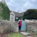
The pictures below are in the order things were seen on this walk. Clicking on any one will enlarge it (and the slideshow
![[A]](https://wiltshirewalks.com/wp-content/uploads/2022/01/NWrax01.jpg)
![[B]](https://wiltshirewalks.com/wp-content/uploads/2022/01/NWrax02a.jpg)
![[C]](https://wiltshirewalks.com/wp-content/uploads/2022/01/NWrax03.jpg)
![[D]](https://wiltshirewalks.com/wp-content/uploads/2022/01/NWrax05.jpg)
![[E]](https://wiltshirewalks.com/wp-content/uploads/2022/01/NWrax06.jpg)
![[F]](https://wiltshirewalks.com/wp-content/uploads/2022/01/NWrax07.jpg)
![[G]](https://wiltshirewalks.com/wp-content/uploads/2022/01/NWrax08.jpg)
![[H]](https://wiltshirewalks.com/wp-content/uploads/2022/01/NWrax09.jpg)
![[I]](https://wiltshirewalks.com/wp-content/uploads/2022/01/NWrax10.jpg)
The walk
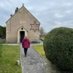
This walk starts in the charming village of North Wraxall (‘Werochesalle’ in Domesday meaning “where buzzards fly”). Parking is straightforward near to the church. Admire the collection of modest and grand 18th/19th century houses. Then, quiet lanes take you past a Roman site, into another small and attractive settlement (West Kington), returning to Wraxall through well farmed countryside. It’s a refreshing walk although if you stick to the lanes (but see field path alternative in blue dots above), you will find some of them quite narrow. However, there is very little traffic – nevertheless remain alert.
The church and the Methuens
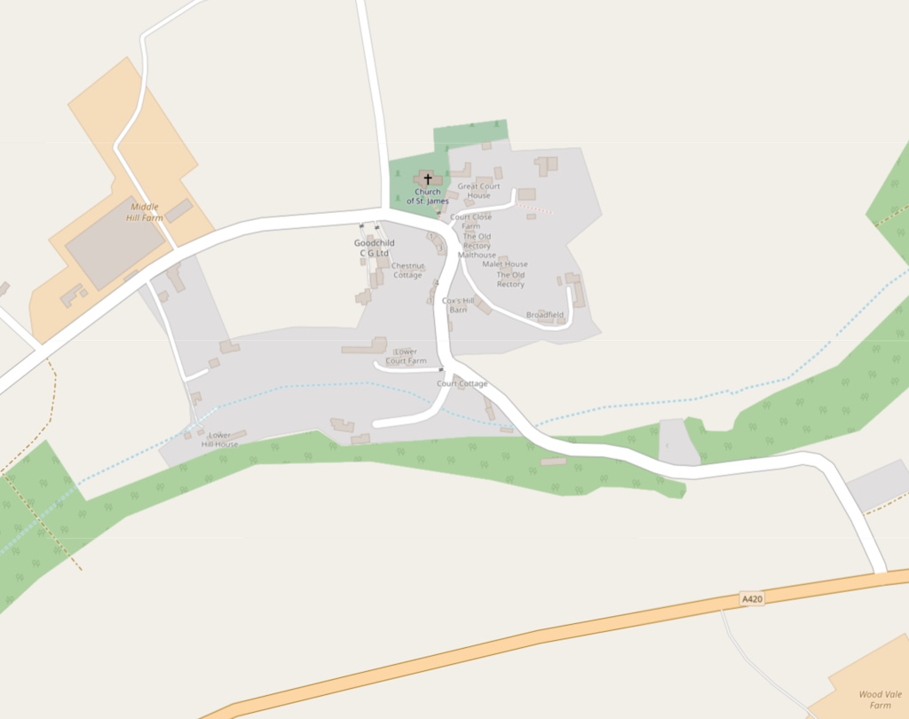
You will perhaps park near the 12th century St James Church, although the Norman doorway is probably the only remaining feature. Otherwise it is 13th century with much development in the 17th, including the addition of a large family vault by local landowner Paul Methuen. The Methuen family was mighty big in these parts: just consider the monument to one of them inside – “coldly beautiful” says Pevsner. It’s certainly prominent. The prolific Paul Cobb Methuen (1752 – 1816) was a politician (Great Bedwyn MP), the eldest son of Paul Methuen (many “Pauls” in that family) of Corsham Court. P. Cobb Methuen was a good sort – he endowed a local school to help poor children. He is buried in this church. See him in his own childhood here.
Romans here
Truckle Hill is an area to the right of where you start this walk. A Roman Villa stood there in the second century: quite large, 16 rooms and a cemetery. In recent years, digging at the site has revealed a ‘bath house’. Although this may have been a temple or Nymphaeum (what’s that? its “a monument consecrated to the nymphs, especially those of springs”). Briefly – between points 2 and 3 on the map you will be walking on the route of the Fosse Way Roman road from Lincoln to Exeter (via Bath).
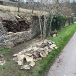
Dry stone walling
From the early part of this walk you may notice the extensive dry-stone walling [B]. Perhaps easy to overlook this – even though UNESCO has inscribed the craft on its list of the “intangible cultural heritage of humanity”. The walls around here are quite overgrown with hedgerow, although a chance to look at hidden structure exists in [D] (see a Waller take on something like this here). These days Wallers are in some demand, although, if you are interested, a national certification scheme is managed in the UK by the Dry Stone Walling Association: it covers four grades up to Master Craftsman. You could, for instance, take a two day course for £100 at their South West England Branch. Or teach yourself maybe?
West Kington and Latimer
Half way through this walk you reach the valley-nestling, quiet village of West Kington with the Broadmead Brook running through it (picture 06). The ‘river frame’ picture shows it as a source of the ByBrook. You might decide to part from the walk here, cross the brook, and visit the 13th and 15th century church of St Mary the Virgin. It has a circular churchyard (suggesting an ancient pagan site?). Its relevant to the next major point on the walk – the 16th century farmhouse called Latimer Manor (2018 guide price £3m)
Hugh Latimer was the rector of West Kington from 1531 until 1535. He had been a Cambridge don but one with controversial enthusiasm about translating the Bible into English. In 1528 Latimer was given a warning by Cardinal Wolsey about this. However he won the approval of Henry VIII, mainly through his efforts to arrange the divorce of Catherine of Aragon (and replacement by Anne Boleyn). Indeed, this led to him being made Bishop of Worcester. However, later, he migrated to our West Kington where he continued to preach his subversive Anglican ideas. Unfortunately, Mary Tudor the devout Catholic queen was getting impatient with him. First he was briefly imprisoned in 1532. But later (1555) he was burnt at the stake in Oxford along with Ridley and Cranmer (together the “Oxford Martyrs”). How strange to link such drama to this quiet place [G].