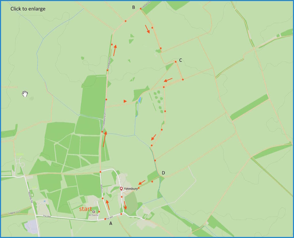
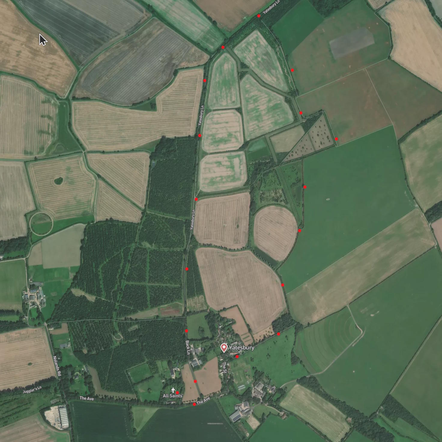
A 4-mile easy circular walk around Yatesbury. Click map below to enlarge. Click here for an aerial view. Click here for a downloadable PDF guide of this page. (There is a GPX route option here for phone/tablet download – some browsers need “save as”. But only follow this link after watching this GPX help video). Friendly warning: all files relating to walks are published here in good faith but on the understanding that users must be responsible for their own safety and wellbeing.
Start: From church walk towards main road, left to Back Lane 230m
A: Take Back Lane and walk straight 2.2K
B: Turn right and follow side of fields 930m
C: Follow field path 1.2K
D: Follow field path to join lane turn left towards main road, back to start 1K
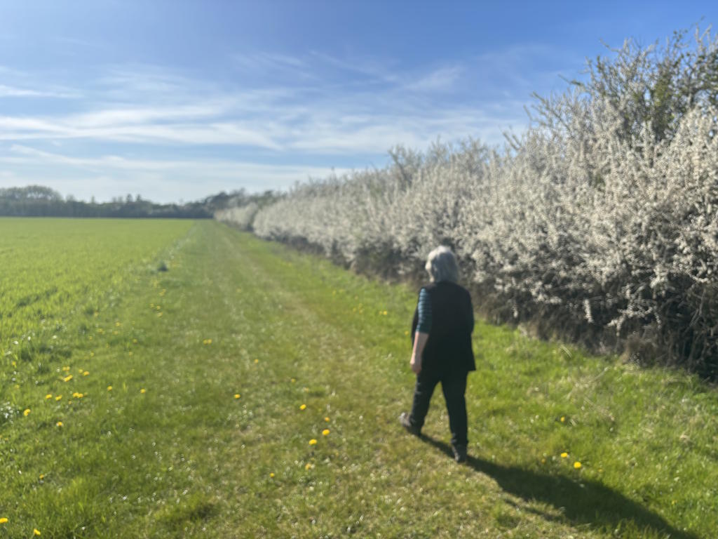
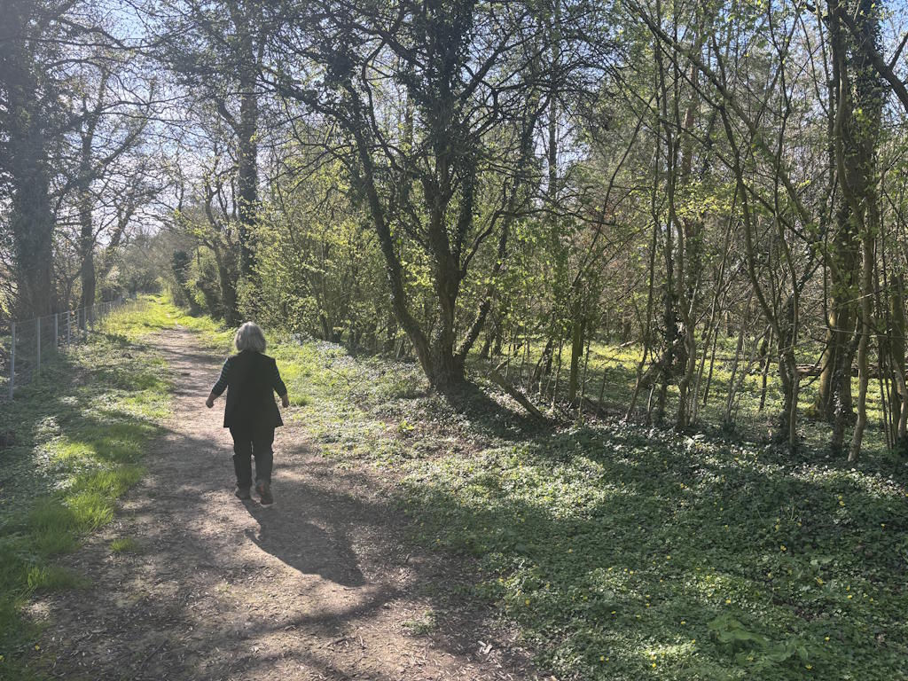
The pictures below are in the order things were seen on this walk. Clicking on any one will enlarge it (and the slideshow)
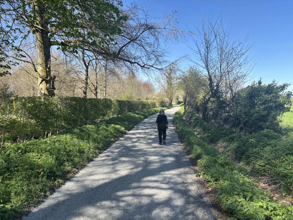
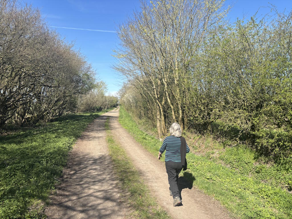
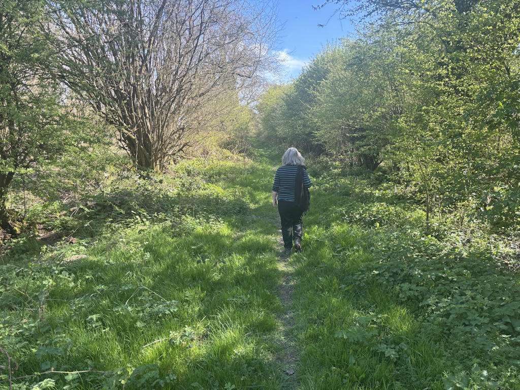
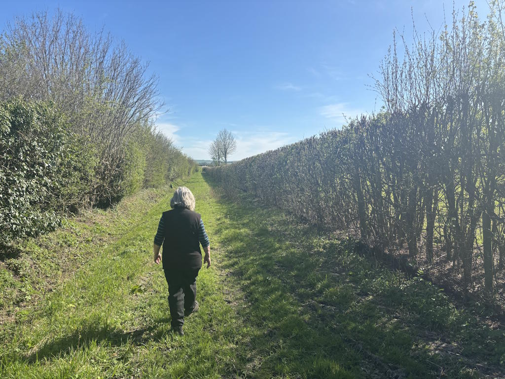
The walk
It is possible to park close to the church or the adjacent Village Hall. This walk is simple but agreeable. No stiles or inclines. It is comfortably on rough lane or clear field paths. On entering the field at Point A on the above map, there is a warning of cattle grazing (and a ‘beware of the bull’ notice on the exit. However, on the day we were there no cattle were in sight, the field is very large and the path neatly hugs the borders. (The farmer is doing interesting things with agroecological methods – he explains here.)
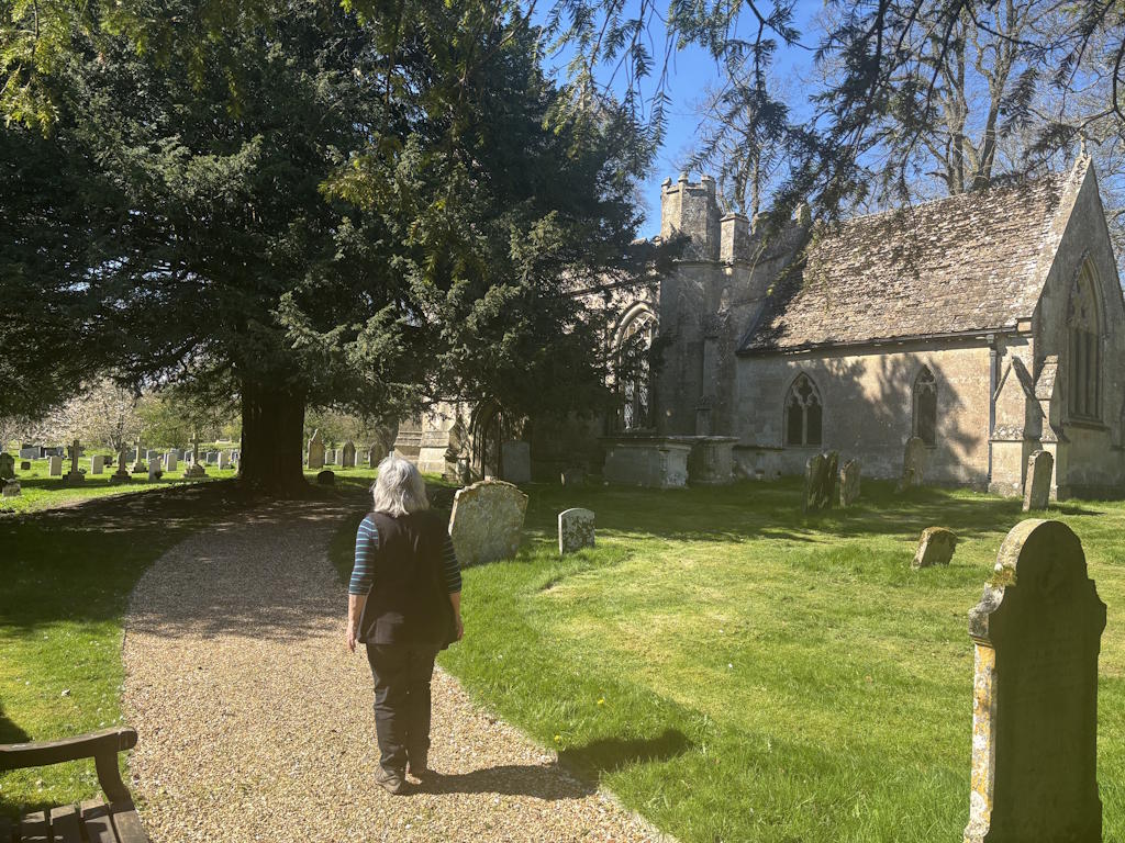
Yatesbury village
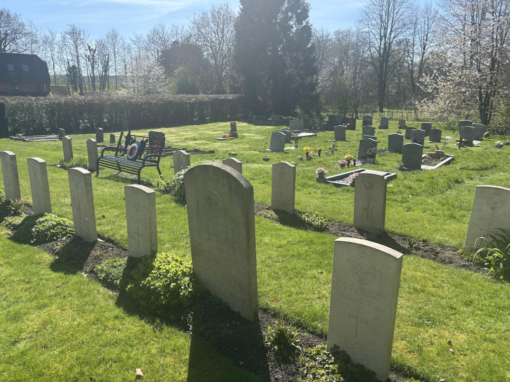
First mention is in the Doomsday Book of 1086. At that time it consisted of tilled land and pasture for sheep and cattle – same as today. You start at All Saints church which dates back to 12th and 13th century although the body of the present building is Perpendicular period. It hosts a rather moving commonwealth graveyard. The neighbouring village hall is the former village school.
The rock musician Julian Cope (Teardrop Explodes) lived here for a number of years, during which time he referred to himself as Lord Yatesbury – to the apparent annoyance of neighbours. The video for the 1988 Timelords record ‘Doctorin’ the Tardis’ was partly filmed here.
There is a pretty comprehensive history of the village here. Or if you want something a bit shorter, try this one.
Yatesbury airfield
South of the village but north of the A4 is the now closed Yatesbury airfield. Find its location here. It was opened in 1916 but closed shortly after WWI. However, it reopened for pilot training in 1936 and subsequently for the training of wireless and radar operators (the distinguished science fiction writer Arther C Clarke was a trainer for a while)
Abandoned sites of this sort attract urban explorers and their drones. This video is a quite thorough urban exploration. Or if you want something less visually compelling, try this text summary. Or really short, this one.