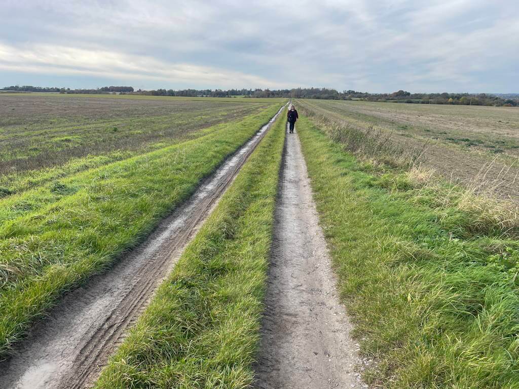
East tytherton

A 4-mile, easy, flat walk on quiet roads with mainly good verges – but, as always, take care in case of occasional vehicle. Click here for an aerial view.  Click here for a downloadable PDF of guide.  (There is a GPX route option here for phone/tablet download. But only follow this link after watching this GPX help video). Friendly warning: all files relating to […]

East tytherton Read More »

Upton Scudamore

A 3-mile, easy and charming walk. On lanes, open fieldpath and clear footpaths. Quiet at start – but still take care in case of occasional vehicle. Click here for an aerial view.  Click here for a downloadable PDF of guide.  (There is a GPX route option here for phone/tablet download. But only follow this link after watching this GPX help

Upton Scudamore Read More »

East knoyle

A 4-mile, easy and charming walk. Entirely on lanes. Very quiet – but still take care in case of occasional vehicle. Click here for an aerial view.  Click here for a downloadable PDF of guide. (There is a GPX route option here for phone/tablet download. But only follow this link after watching this GPX help video). (Routes suggested

East knoyle Read More »

Poulshot

A 2-mile, easy rectangular walk – behind and through this Wiltshire village. Click here for an aerial view.  Click here for a downloadable PDF of guide.  (There is a GPX route option here for phone/tablet download. But only follow this link after watching this GPX help video). Friendly warning: all files relating to walks are published here in good faith but

Poulshot Read More »

Studley

A pleasant 4-mile walk on quiet lanes – with short fieldpath section towards end. No stiles, cattle, obstacles. Click map to enlarge. Click here for an aerial view. Click here for PDF download of these pages. There is a YouTube walk outline here.  (There is a GPX route option here for phone/tablet download. But only follow this link after

Studley Read More »

Bulkington

A 3-mile flat walk through farming countryside. Bridleways and lanes, no stiles. Click here for an aeriel view.  Click here for a downloadable PDF of guide. (Routes suggested from each map point + metres to next point) Start: Walk left away from church towards war memorial junction: 310m1: Cross road, take lane until Y-junction at

Bulkington Read More »

Mildenhall

An easy 3-mile field walk alongside river Kennet. Suggest start from parking area set for church visitors. Click here for an aerial view.  Click here for a downloadable PDF of guide.  (There is a GPX route option here for phone/tablet download. But only follow this link after watching this GPX help video). Friendly warning: all files relating to walks are published

Mildenhall Read More »

Norton

A no-fields, no-stiles easy and peaceful walk between two Wiltshire villages. Click here for an aerial view.  Click here for a downloadable PDF of guide.  (There is a GPX route option here for phone/tablet download. But only follow this link after watching this GPX help video). Friendly warning: all files relating to walks are published here in good faith but on

Norton Read More »

Melksham

Figure out Melksham – in 2 hours. A 4-mile walk (no obstacles) in an old market town: taking residential streets towards an urban nature reserve and then the pleasing old town. Click here for an aerial view.  Click here for a downloadable PDF of guide. (Routes suggested from each map point + metres to next

Melksham Read More »

Great Somerford

A 4-mile circular walk starting in the village. No fieldwalking, mud, cattle or stiles – mainly light traffic roads, often with grass verges – but sometimes not, especially on last part of route. Enjoy the site of Britain’s first allotments. Click here for an aerial view. Click here for printable PDF download of these notes. (Routes suggested

Great Somerford Read More »

Scroll to Top