conkwell

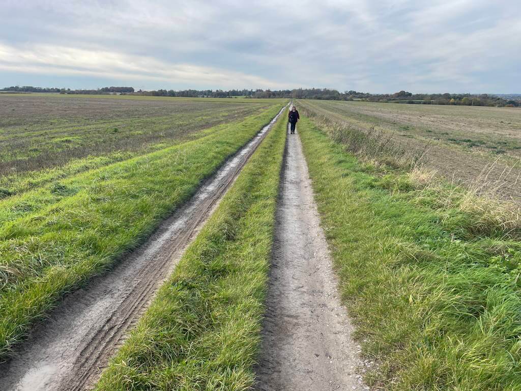
A 2.5-mile, easy, flat walk around Conkwell on quiet lanes starting and ending at a farm shop. It can be made a little longer by substituting the blue dot route at point 3. Click here for an aerial view Click here for a downloadable PDF guide of this page.  (There is a GPX route option here for phone/tablet […]

conkwell Read More »

Burton

A 4-mile, easy, flat walk on quiet roads with mainly good verges – but, as always, take care in case of occasional vehicle. Click here for an aerial view.  Click here for a downloadable PDF guide of this page.  (There is a GPX route option here for phone/tablet download. But only follow this link after watching this GPX help video). Friendly warning: all

Burton Read More »

East tytherton

A 4-mile, easy, flat walk on quiet roads with mainly good verges – but, as always, take care in case of occasional vehicle. Click here for an aerial view.  Click here for a downloadable PDF of guide.  (There is a GPX route option here for phone/tablet download. But only follow this link after watching this GPX help video). Friendly warning: all files relating to

East tytherton Read More »

Upton Scudamore

A 3-mile, easy and charming walk. On lanes, open fieldpath and clear footpaths. Quiet at start – but still take care in case of occasional vehicle. Click here for an aerial view.  Click here for a downloadable PDF of guide.  (There is a GPX route option here for phone/tablet download. But only follow this link after watching this GPX help

Upton Scudamore Read More »

East knoyle

A 4-mile, easy and charming walk. Entirely on lanes. Very quiet – but still take care in case of occasional vehicle. Click here for an aerial view.  Click here for a downloadable PDF of guide. (There is a GPX route option here for phone/tablet download. But only follow this link after watching this GPX help video). (Routes suggested

East knoyle Read More »

Poulshot

A 2-mile, easy rectangular walk – behind and through this Wiltshire village. Click here for an aerial view.  Click here for a downloadable PDF of guide.  (There is a GPX route option here for phone/tablet download. But only follow this link after watching this GPX help video). Friendly warning: all files relating to walks are published here in good faith but

Poulshot Read More »

Studley

A pleasant 4-mile walk on quiet lanes – with short fieldpath section towards end. No stiles, cattle, obstacles. Click map to enlarge. Click here for an aerial view. Click here for PDF download of these pages. There is a YouTube walk outline here.  (There is a GPX route option here for phone/tablet download. But only follow this link after

Studley Read More »

Bulkington

A 3-mile flat walk through farming countryside. Bridleways and lanes, no stiles. Click here for an aeriel view.  Click here for a downloadable PDF of guide. (Routes suggested from each map point + metres to next point) Start: Walk left away from church towards war memorial junction: 310m1: Cross road, take lane until Y-junction at

Bulkington Read More »

Mildenhall

An easy 3-mile field walk alongside river Kennet. Suggest start from parking area set for church visitors. Click here for an aerial view.  Click here for a downloadable PDF of guide.  (There is a GPX route option here for phone/tablet download. But only follow this link after watching this GPX help video). Friendly warning: all files relating to walks are published

Mildenhall Read More »

Norton

A no-fields, no-stiles easy and peaceful walk between two Wiltshire villages. Click here for an aerial view.  Click here for a downloadable PDF of guide.  (There is a GPX route option here for phone/tablet download. But only follow this link after watching this GPX help video). Friendly warning: all files relating to walks are published here in good faith but on

Norton Read More »

Scroll to Top